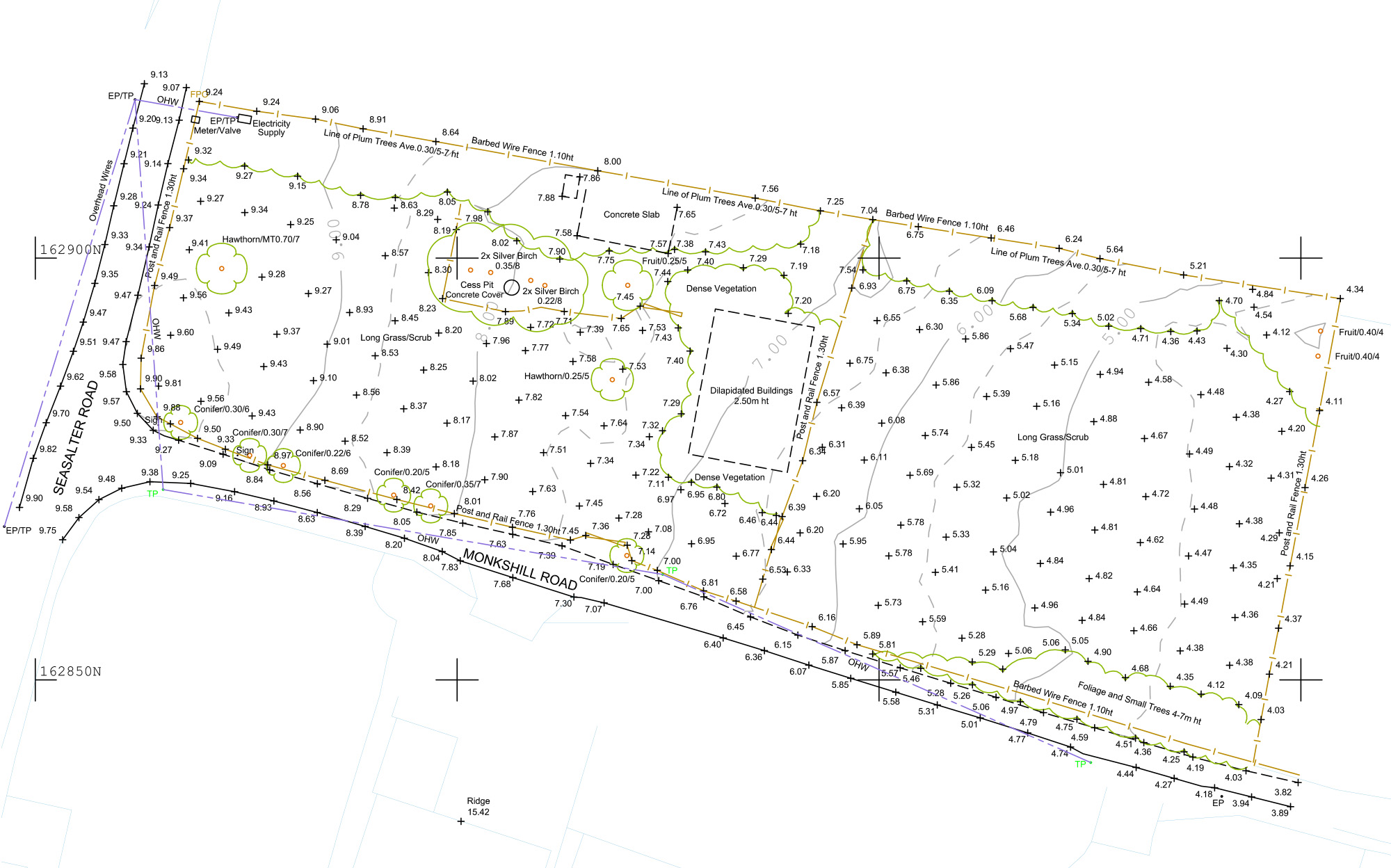
Topographic Surveys
Benefits
Precise, Informative, Three Dimensional Data
Equipment
LiDar scanner, Total Station, GPS Unit
Deliverables
Detailed Topographic Survey
What is a Topographic Survey?
Accurately captures the three-dimensional characteristics of the land surface, including its elevations, contours, and the location of various physical features.

How it can help you?
Crucial for a wide range of industries planning and design, construction, architectural and landscape projects, topographic surveys provide critical information that supports decision making.
They are commissioned by various industry sectors where they help to ensure
precise measurements of land features, including elevations, contours, and boundaries.
Helps identify potential hazards such as flood zones, unstable terrain, and other geographical challenges
Facilitates the planning and construction of infrastructure like roads, bridges, and utilities.
Provides essential documentation for legal purposes, such as land disputes and property transactions.


