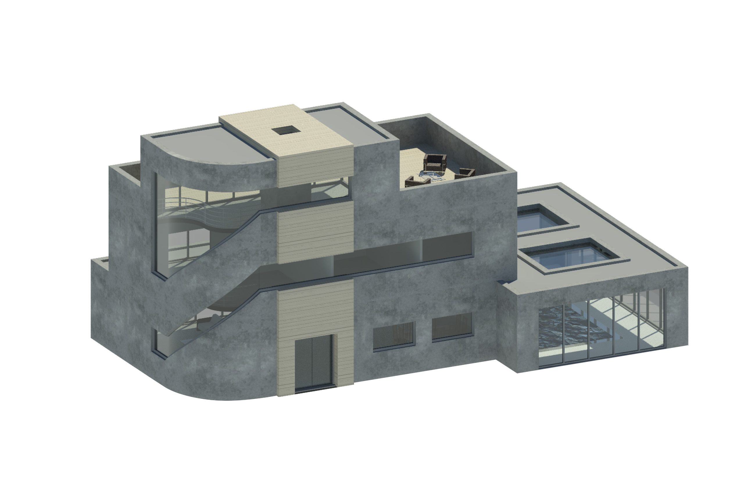
3D Models
Benefits
Visualise, Accuracy
Equipment
LiDar scanner
Deliverables
CAD drawn 3D Model
What is a 3D Model?
In surveying, a 3D model refers to a digital representation of a physical space or terrain, created using data collected through various surveying techniques. These models are highly detailed and accurate, capturing the three-dimensional aspects of the surveyed area.
Enables visualisation and a clear understanding of a site's physical characteristics.

Why should I commission one?
The data collected is used to generate highly accurate point clouds that form the basis of 3D models. LiDAR is particularly effective for capturing detailed
They allow clients to visualize, analyse, and manage physical spaces with a high degree of accuracy, leading to better planning, decision-making, and execution in various fields.


